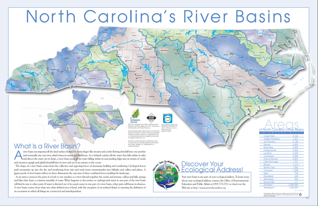
Rivers & Streams

Catawba River
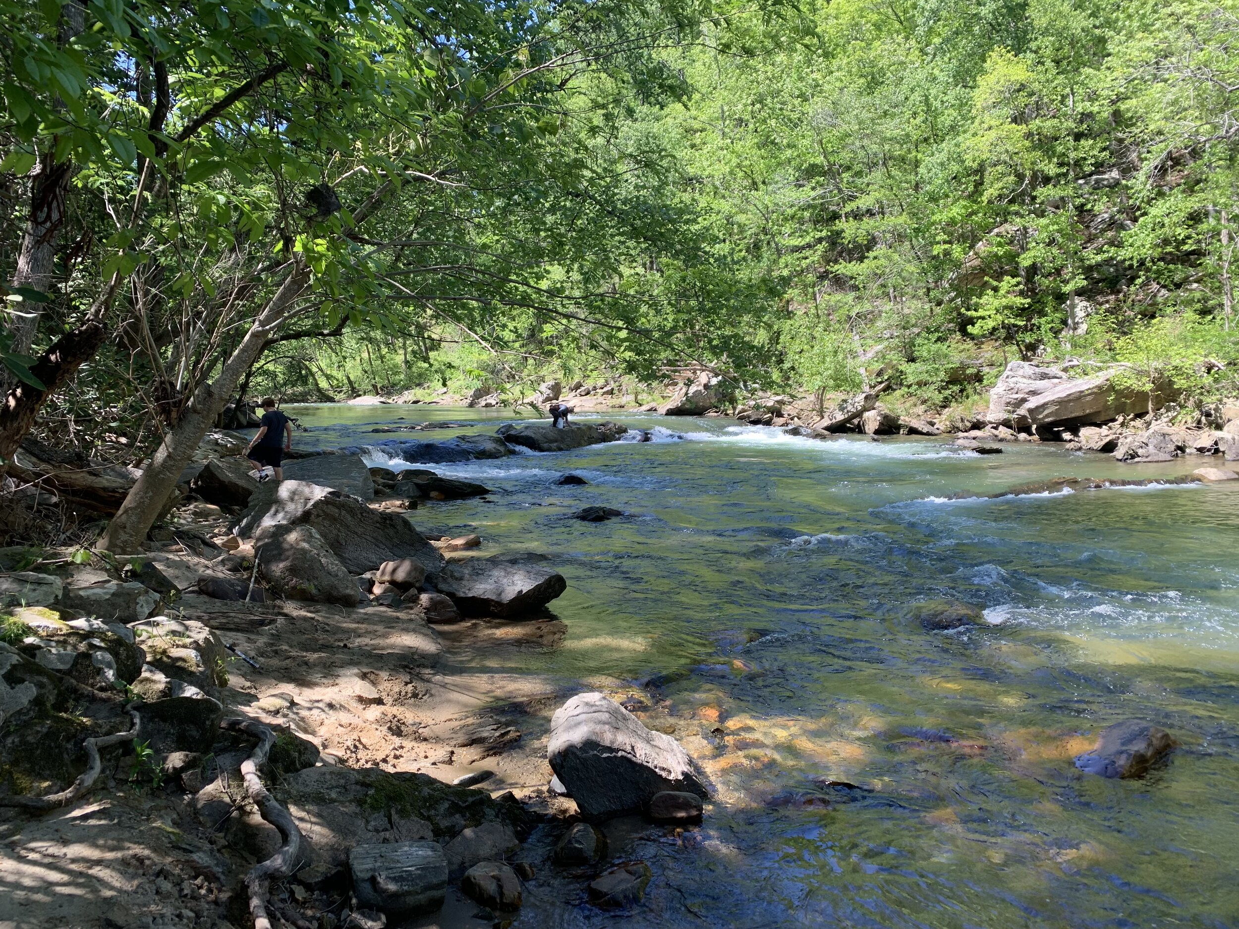
Nestled in the Blue Ridge Mountains just east of the Eastern Continental Divide, the Catawba River begins near the Town of Old Fort in western McDowell County. Nearly 220 miles long, the Catawba flows east-to-west through the heart of Foothills Conservancy’s land trust region. Turning southward, the river flows past Charlotte and into South Carolina where it joins the Wateree River before draining into the Atlantic Ocean.
Foothills Conservancy’s work in the Catawba River’s upper basin helps protect water quality by preserving watershed forests and natural stream-side vegetation, thus preventing erosion and sedimentation, and filtering pollutants. These natural areas are key functional components of healthy terrestrial and aquatic ecosystems that provide habitat for wildlife, as well as places for people to enjoy and recreate in the Blue Ridge Mountains and foothills.

Broad River
The Broad River basin encompasses 5,419 square miles within North and South Carolina. Its headwaters — along with the headwaters of its three major tributaries: the Green, the Second Broad, and the First Broad — originate on the eastern slopes of the Blue Ridge Mountains and along the southern slopes of the South Mountains.
The river and its tributaries flow southeast through the foothills, merging in southern Rutherford and Cleveland counties before crossing into South Carolina. Near Columbia, it joins the Saluda River to form the Congeree River, later intersecting with the Catawba-Wateree River to form the Santee River on its way to the Atlantic Ocean.
From its spectacular and scenic beginnings in the Hickory Nut Gorge, the Broad River and its tributaries provide water for drinking and industrial uses, as well as recreation, for Rutherford, Polk, and Cleveland counties in North Carolina, as well as much of South Carolina.

Yadkin River
The Yadkin River is one of the longest rivers in North Carolina, flowing 215 miles across the state’s center. Beginning near the Blue Ridge Parkway’s Thunder Hill Overlook, it flows southeast becoming the Pee Dee River at the confluence with the Uwharrie River. At the fall line in South Carolina, it becomes the Great Pee Dee River on its way to the Atlantic Ocean.
The Yadkin River passes by numerous urban centers and is an important resource for water supply, recreation, and wildlife. Principal tributaries of the Yadkin include the Reddies, Roaring, Mitchell, Fisher, Ararat, and South Yadkin rivers.
The character of the landscape changes dramatically from the headwaters to its lower reaches. The headwaters drain the eastern slope of the Blue Ridge Mountains from Lenoir to Winston Salem. These mountainous areas contain steep valleys and intact forests. Lower down in the Piedmont, the Yadkin and its tributaries flow through broad valleys dominated by agriculture. These headwaters, particularly the small mountain streams, are especially important because of their intact ecology and resulting high water quality. A portion of the river flows through Pilot Mountain State Park, Morrow Mountain State Park, and the Uwharrie National Forest.
In 1987, the NC General Assembly established the Yadkin River State Trail as a “blueway” paddle trail which follows the river for 130 miles.